Fundamentals of remote sensing: History, platforms, and sensors
Types of remote sensing (active vs passive, optical vs radar).
Key terminologies: Spatial, spectral, temporal, and radiometric resolution.
Overview of remote sensing data sources: Satellites, drones, and aerial systems.
Hands on
Module 2
Remote Sensing Data Preprocessing
Data formats (GeoTIFF, HDF, NetCDF) and tools (QGIS, GDAL).
Data cleaning, radiometric, and atmospheric corrections.
Image registration, resampling, and mosaicking techniques.
Cloud removal and noise reduction.
Hands on
Module 3
Introduction to ML and DL
Introduction to ML and DL
Types of algorithms
Current trends in AI
Thinking from an algorithm’s perspective
Basic hands on exercise for data preparation.
How to do EDA?
Module 4
Hands on algorithms implementation
Introduction to sk-learn, tensorflow/pytorch
Classification using ML algorithms
Introduction to CNNs, LSTMs, GANs, Autoencoders
Hands on
Module 5
Integrating AI with GIS and its Application in RS
Role of Geographic Information Systems (GIS) in remote sensing.
AI integration with GIS: Geospatial data analysis, visualization, and interpretation.
AI applications in agriculture, forestry, urban planning, and disaster management.
Real-world use cases of AI-powered remote sensing (crop monitoring, deforestation tracking, flood mapping).
Hands on
Implementing AI-based remote sensing projects for specific applications (agriculture, urban planning, etc.).
Module 6
Advanced Deep Learning algos
Implementing ANNs, CNNs, Unet.
Introduction to edge computing and parallel computing.
Basic introduction to foundation models.
Module 7
Live Project work
Introduction to hugging face models
Pulling weights of large pre-trained models and training live.
Comparing model accuracy (Vanilla and pre-trained)
Doubt Session
This is built for
Undergraduates
Gain foundational knowledge and hands-on experience in AI and space tech integration.
Professionals
Upgrade your expertise in geospatial analysis and artificial intelligence applications.
Entrepreneurs
Build AI-powered solutions for industries like agriculture, disaster management, and urban planning
Researchers
Leverage AI to address complex challenges in remote sensing and data analysis
About your program directors
Key Learnings
Master the fundamentals of remote sensing, including data acquisition and visualization.
Gain expertise in preprocessing techniques for multispectral and hyperspectral imagery.
Understand and implement AI algorithms like CNNs, LSTMs, and Autoencoders for space applications.
Integrate AI with GIS for geospatial data analysis and practical industry use cases.
Learn cutting-edge concepts like edge computing, foundation models, and advanced deep learning.
Receive personalized mentorship and guidance to create impactful AI-powered solutions.
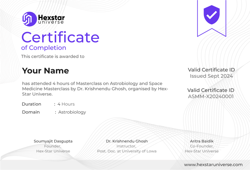
Benefits of Our Certification:
1. Boost your career prospects with a certification acknowledged across the world.
2. Improves chances of employment and career advancement.
3. Ensures top-quality education and training.