The global remote sensing technologies market was valued at $13.1 billion in 2022 and is expected to reach $27.1 billion by 2028
Limited to 100 Students. Hurry Up!!!
Understand the in depth concepts and tools you will learn throughout the program.
Gain hands-on experience with the tools used by professional remote sensing engineers to drive success and deliver value in the real world.


Understand the principles and applications of remote sensing technologies.
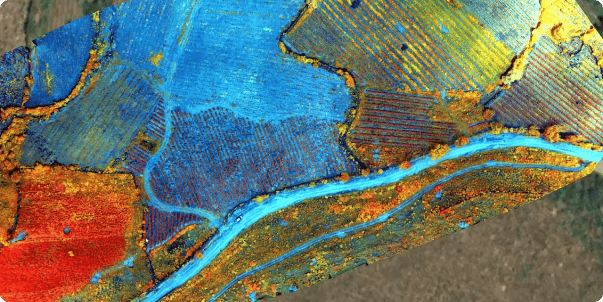
Develop skills in using GQIS for geospatial data analysis and visualisation

Master the methods of applying scientific computing to analyse and interpret the data

Gain hands-on experience in geospatial computing for data processing
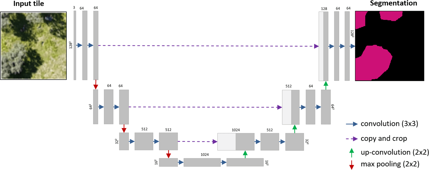
Understand and apply encoder-decoder architectures, K-means clustering, Convolutional Neural Networks (CNNs), and advanced spatial computing preprocessing algorithms.
Explore supercomputing approaches for handling and processing remote sensing data.
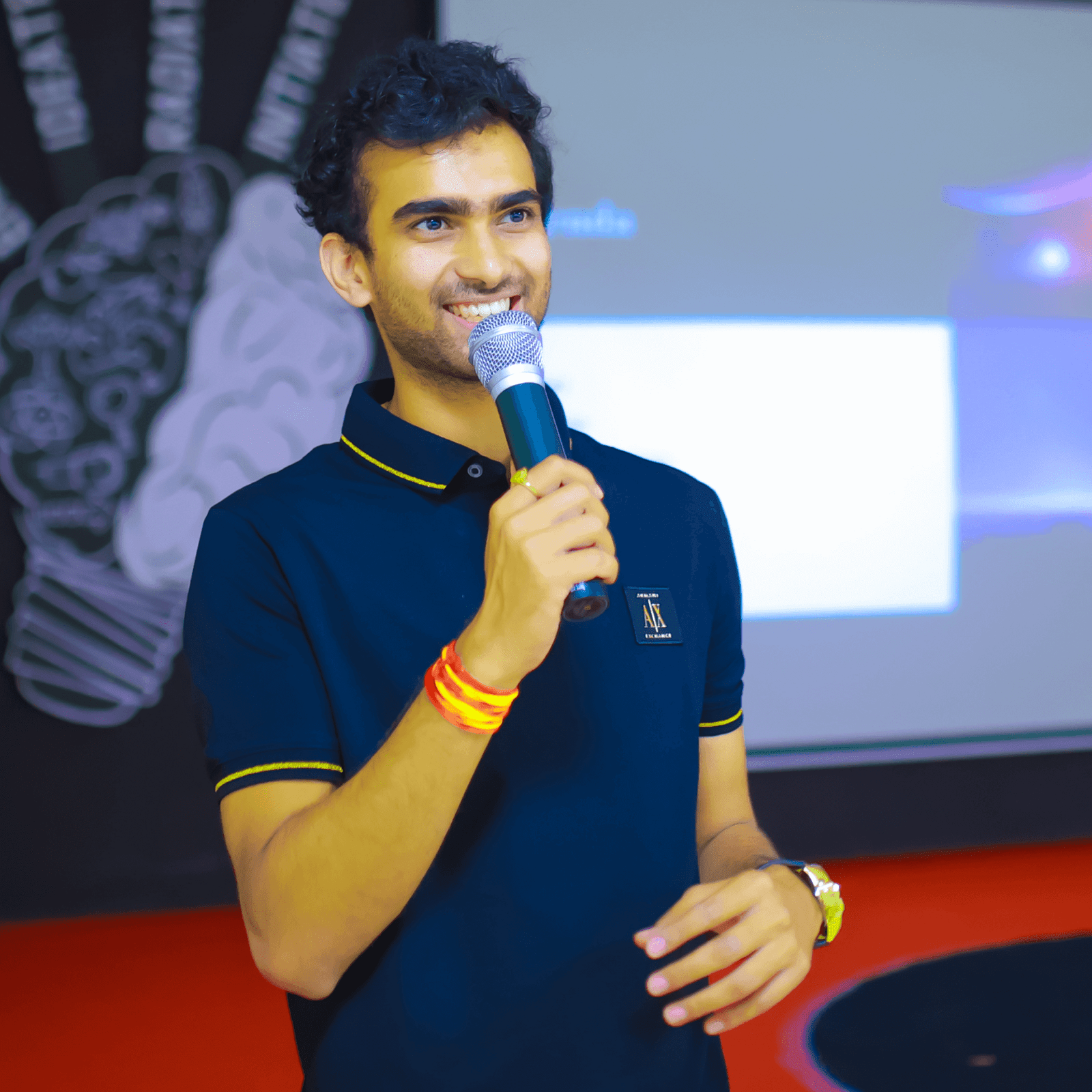
Employed as an edge computing scientist. Completed his bachelor’s degree in Acropolis, Indore. Secured AIR 4 in the entrance exam for IIRS. Impressed by his works, he got an invitation from NASA Johnson Space centre for his incredible work on moon. Awarded as the youngest scientist in ISRO at PRL. Presented multiple papers at NASA, JAXA, ESA and other space agencies. First Indian to perform edge computing. Published researches across multiple journals.



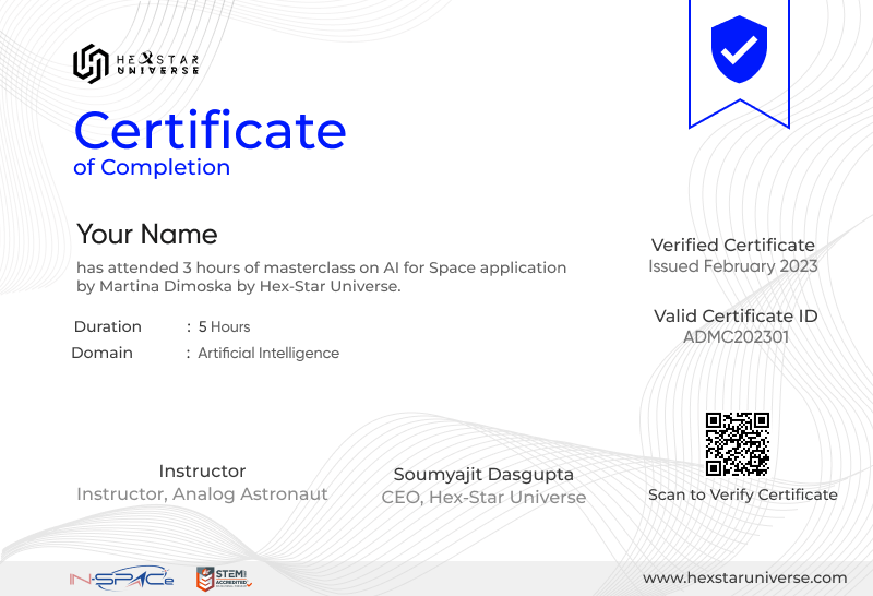
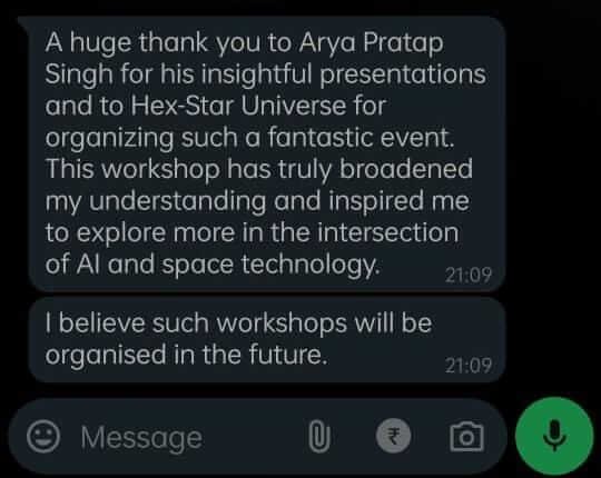
2000+ students across the world have rated by doing our masterclass ,courses,training programmes
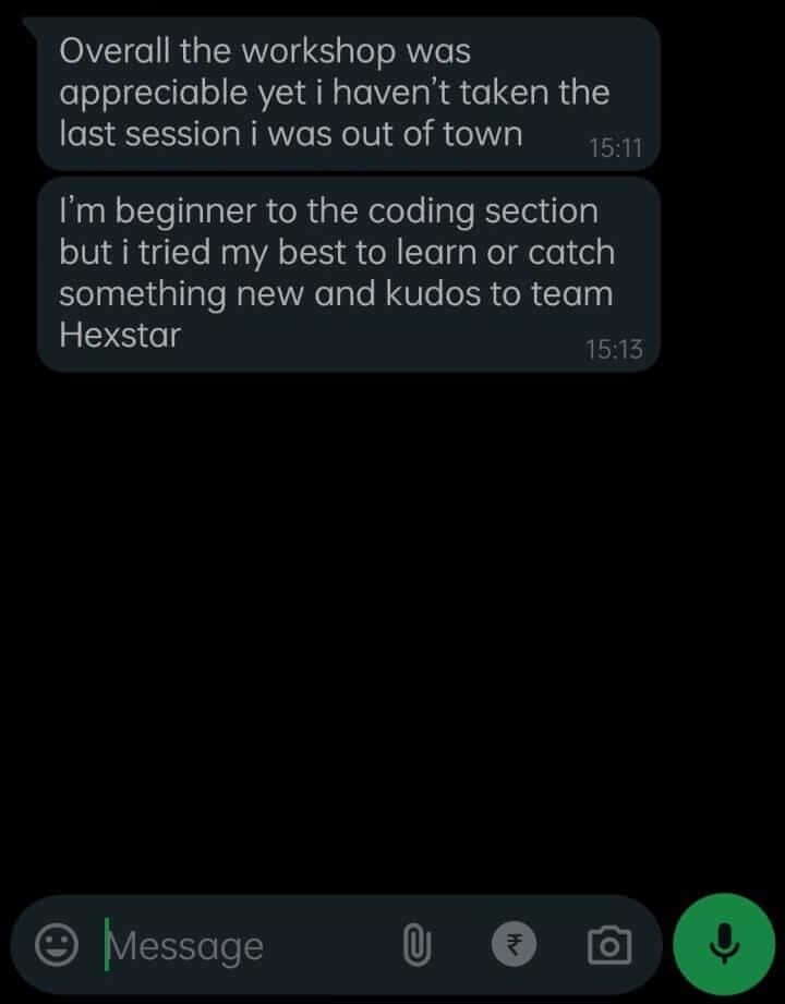
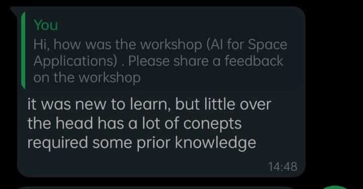
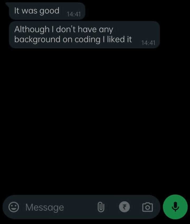
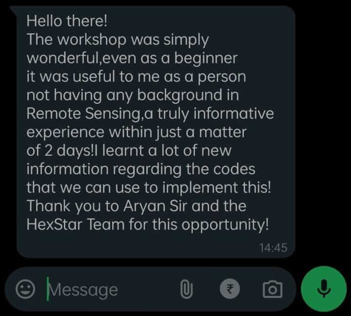
AI & ML enthusiasts, Space Tech Professionals, GIS experts and Students

© 2026 Hex-Star Universe
virtual event - live on meet

